 Outdoor Pitstop
Cycle route · Heringsdorf · Updated on 14 November 2026
EV10 Ostseeküsten-Radweg - Abschnitt Deutschland MV-Nordost cycle route
EV10 Ostseeküsten-Radweg - Abschnitt Deutschland MV-Nordost is a cycle route of 125.9 km from Heringsdorf. Along the way you'll find 885 benches, 5 water fountains and refill points, 62 public toilets, 2 bike pumps and 1 honesty box.
i
i
i
The route step by step
From start to finish, with what you pass along the way and the distance in between.
- 125.9 km
- ± 8:25 h
- ↑ 357 m · ↓ 367 m
- Hard
- From A to B
- International route
- Colour of the signs
Start in Heringsdorf
0 km380 m · 3 benches
Public toilet
380 m1.4 km · 8 benches
Public toilet
1.8 km466 m · 7 benches
Public toilet
2.3 km315 m · 7 benches
Public toilet
2.6 km153 m · 7 benches
2 public toilets
2.7 km241 m · 47 benches
Public toilet
3 km314 m · 17 benches
Public toilet
3.3 km272 m · 27 benches
Public toilet
3.5 km430 m · 12 benches
Public toilet
4 km263 m · 9 benches
Public toilet
4.2 km301 m · 10 benches
Public toilet
4.5 km445 m · 14 benches
3 public toilets
5 km476 m · 57 benches
Public toilet
5.5 km445 m · 17 benches
2 public toilets
5.9 km279 m · 3 benches
Public toilet
6.2 km623 m · 25 benches
Public toilet
6.8 km404 m · 4 benches
2 public toilets
7.2 km275 m · 22 benches
Public toilet
7.5 km306 m · 43 benches
Public toilet
7.8 km268 m · bench
Public toilet
8.1 km3.7 km · 10 benches
Public toilet
11.7 km1.4 km
Public toilet
13.1 km1.4 km · 2 benches
Public toilet
14.5 km447 m
2 public toilets and water point
14.9 km165 m
Public toilet and 3 water fountains and refill points
15.1 km215 m · bench
Public toilet
15.3 km3.1 km · 4 benches
Public toilet
18.5 km564 m · 28 benches
Public toilet
19 km179 m · 15 benches
Public toilet and water point
19.2 km
Show the other 34 steps
1.6 km · 16 benches
Public toilet
20.8 km1.3 km · 20 benches
Public toilet
22.2 km284 m · 5 benches
Public toilet
22.5 km294 m · 22 benches
2 public toilets
22.8 km297 m · 13 benches
Public toilet
23 km716 m · bench
Public toilet
23.8 km744 m
Public toilet
24.5 km1.1 km · 5 benches
Public toilet and bike pump
25.6 km708 m · 23 benches
Public toilet
26.3 km2.2 km · 6 benches
Public toilet
28.5 km363 m · 6 benches
Public toilet
28.9 km385 m · 33 benches
Public toilet
29.3 km185 m · 42 benches

Lift-Cafe
29.5 kmPublic toilet
311 m · 39 benches
Public toilet
29.8 km440 m · 2 benches
Public toilet
30.2 km1.5 km · 21 benches
Public toilet
31.7 km484 m · 5 benches
Public toilet
32.2 km214 m · 8 benches
Public toilet
32.4 km1.3 km · 9 benches
Public toilet
33.6 km7.2 km · 15 benches
Peenebrücke
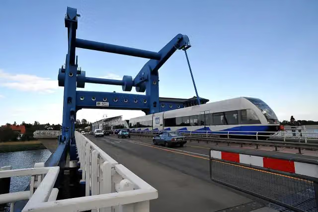
40.8 kmAttraction
361 m · 7 benches
Dampffährschiff Stralsund
41.2 kmAttraction
374 m · 9 benches
Public toilet
41.6 km20.4 km · 24 benches
Public toilet
61.9 km805 m · 3 benches
Eisenbahnwagen Kleinbahn Greifswald-Wolgast
62.7 kmPublic toilet
6.9 km · 13 benches
Public toilet
69.7 km7.4 km · 12 benches
Schloss Ludwigsburg
77 kmCastle
5.4 km · 8 benches
Honesty box
82.5 km5.2 km · 10 benches
Wiecker Brücke
87.7 kmAttraction
265 m · 5 benches
Public toilet
87.9 km3.8 km · 37 benches
Public toilet
91.8 km214 m · 10 benches
Museumshafen
92 kmAttraction
2.8 km · 26 benches
Bike pump
94.8 km398 m · 2 benches
Public toilet
95.2 km30.7 km · 16 benches
Finish
125.9 km
Longest stretch without a toilet: 30.7 kmBetween 95.2 km and 125.9 km there is no public toilet within 100 m of the route.
The route with the pitstops and sights within 100 m of it.
7 sights along the way
In the order you pass them. With the Outdoor Pitstop app you hear their story on the spot.

Observation tower · after 29.5 km
i
Photo: Хрюша · Wikimedia Commons · CC BY-SA 3.0View the photo on Wikimedia CommonsAttraction · after 40.8 km
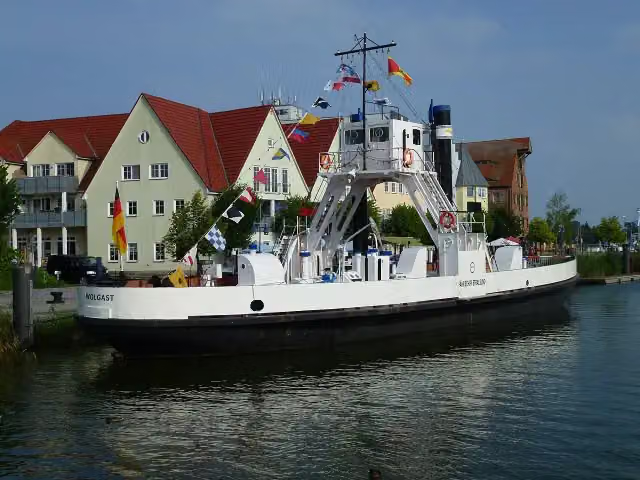
i
Photo: McKarri · Wikimedia Commons · CC BY-SA 3.0View the photo on Wikimedia CommonsAttraction · after 41.2 km
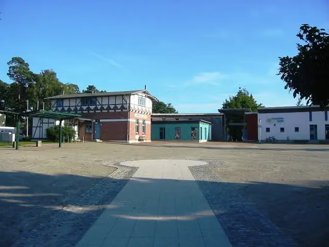
i
Photo: Assenmacher · Wikimedia Commons · CC BY-SA 3.0View the photo on Wikimedia CommonsAttraction · after 62.7 km
i
Photo: onnola · Wikimedia Commons · CC BY-SA 2.0View the photo on Wikimedia CommonsCastle · after 77 km
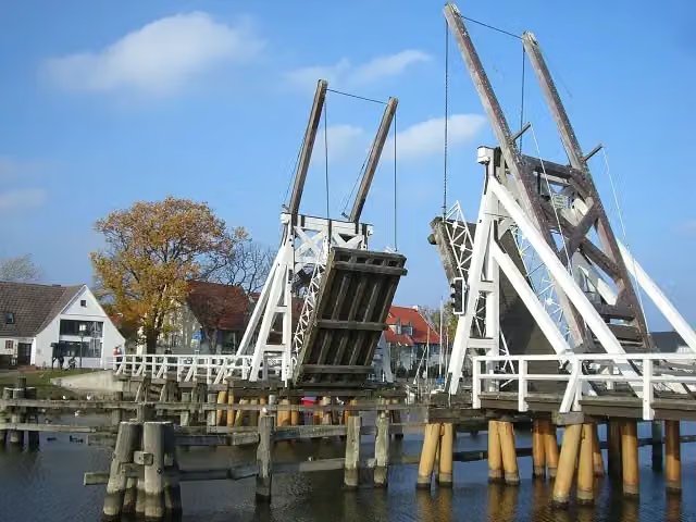
Attraction · after 87.7 km
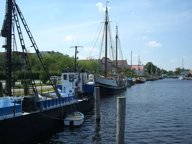
Attraction · after 92 km
Elevation and terrain
- Up
- ↑ 357 m
- Down
- ↓ 367 m
- Highest point
- 51 m
- Lowest point
- -0 m
Nowhere steeper than 5%.
Elevation from Copernicus GLO-30 (European Union and ESA), smoothed.
produced using Copernicus WorldDEM-30 © DLR e.V. 2010-2014 and © Airbus Defence and Space GmbH 2014-2018 provided under COPERNICUS by the European Union and ESA; all rights reserved
Way types
125.9 km in total- Path: 58.2 km
- Road: 26.1 km
- Street: 23 km
- Track: 8.2 km
- Footpath (walk your bike): 6.1 km
- Busy road: 2.7 km
- Cycle path: 1.4 km
Surfaces
125.9 km in total- Asphalt: 68.1 km
- Paved: 33.9 km
- Gravel: 20.6 km
- Unknown: 3 km
About the cycle route EV10 Ostseeküsten-Radweg - Abschnitt Deutschland MV-Nordost
Updated on 14 November 2026, with data from OpenStreetMap, the AHN and Copernicus.
Where do you cycle?
EV10 Ostseeküsten-Radweg - Abschnitt Deutschland MV-Nordost is a cycle route of 125.9 km that starts in Heringsdorf. It does not end where it starts. Along the way you pass Lift-Cafe (after 29.5 km), Peenebrücke (after 40.8 km) and Dampffährschiff Stralsund (after 41.2 km).
How hard is the route?
You climb 357 m in total and descend 367 m. Allow ± 8:25 h, without breaks. The level is hard.
What roads do you cycle on?
The longest part is path (58.2 km), road (26.1 km) and street (23 km). Of the surface, 68.1 km asphalt and 33.9 km paved. For 3 km the surface is not known.
Pitstops along the way
Within 100 metres of the route there are 885 benches, 5 water fountains and refill points, 62 public toilets, 2 bike pumps and 1 honesty box. You can fill your bottle after 15.1 km and after 19.2 km. The longest stretch without a toilet is 30.7 km. The Outdoor Pitstop app navigates you there.
Cycle routes nearby
6- Stettiner Haff RundwegHard · From A to B107.4 km
- D2 Ostseeküsten-Radweg - Abschnitt MV-NordostHard · From A to B128.8 km
- Usedom RundwegHard · Circular ride146.5 km
- EuroVelo 13 - Iron Curtain Trail - part 1Hard · From A to B142.4 km
- Wokół Zalewu SzczecińskiegoHard · From A to B113.6 km
- Berlin-Usedom RadwegHard · From A to B337.6 km
Sights nearby
Within 10 km of the route, best known first.
- 1
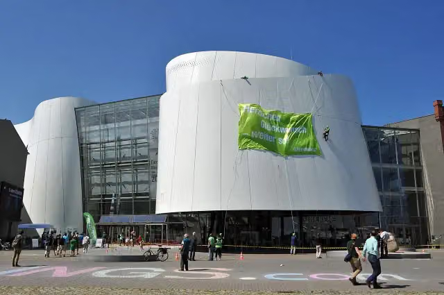 OzeaneumMuseum · 1.2 km from the route
- 2
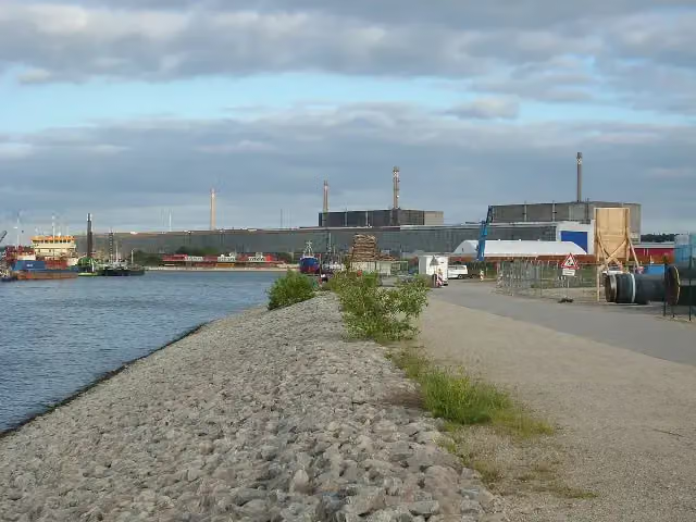 AKW Lubmin - InformationszentrumMuseum · 91 m from the route
- 3
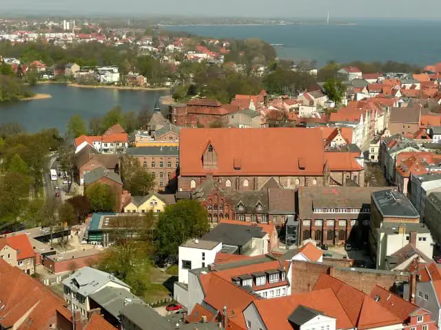 Maritime MuseumMuseum · 1.5 km from the route
- 4
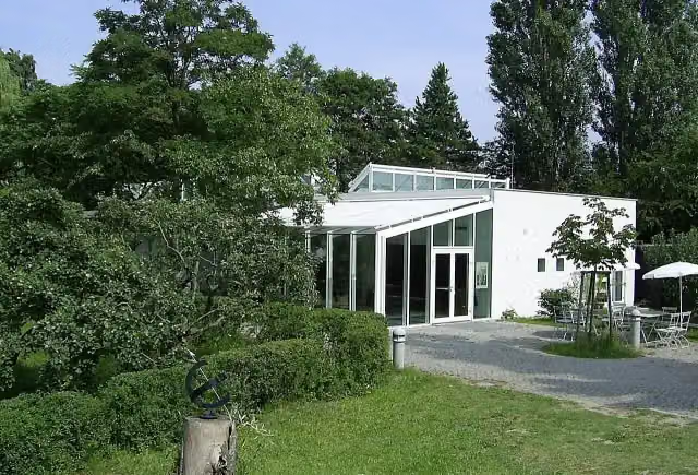 Atelier Otto Niemeyer-HolsteinMuseum · 101 m from the route
- 5
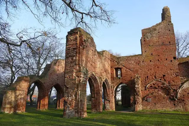 Klosterruine EldenaAttraction · 202 m from the route
- 6
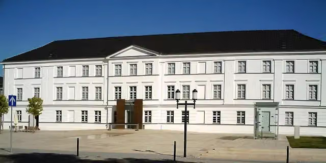 Pommersches LandesmuseumMuseum · 446 m from the route
- 7
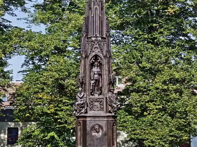 Rubenow-DenkmalMemorial · 485 m from the route
- 8
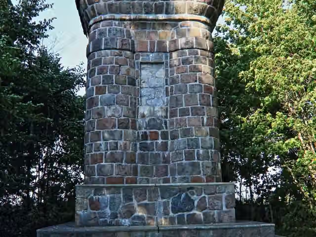 BismarcksäuleMemorial · 585 m from the route
- 9
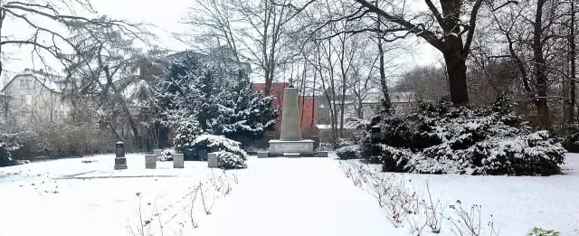 Russischer FriedhofMemorial · 657 m from the route
- 10
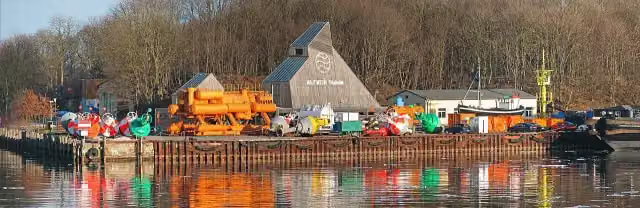 Nautineum StralsundMuseum · 709 m from the route
- 11
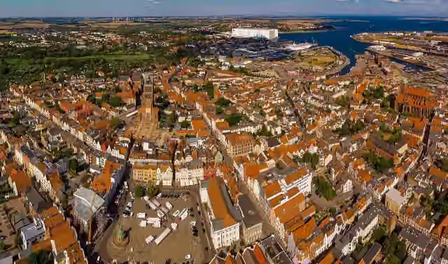 UNESCO World Heritage: Historic Centre of StralsundAttraction · 1.2 km from the route
- 12
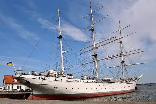 Gorch Fock IAttraction · 1.3 km from the route
- 13
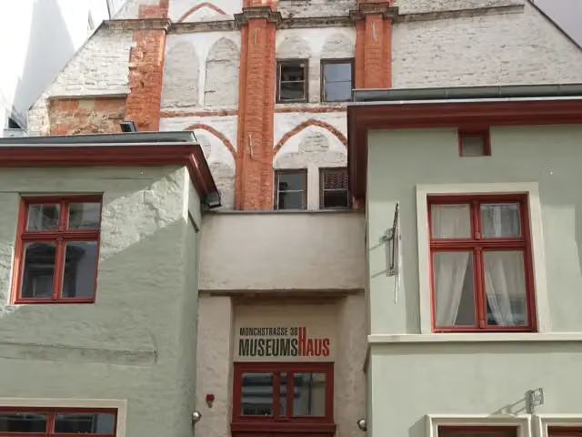 MuseumshausMuseum · 1.3 km from the route
- 14
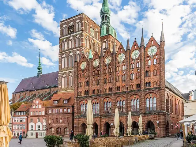 Altes RathausAttraction · 1.5 km from the route
- 15
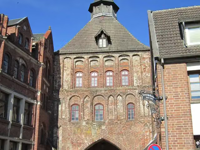 KütertorAttraction · 1.6 km from the route
- 16
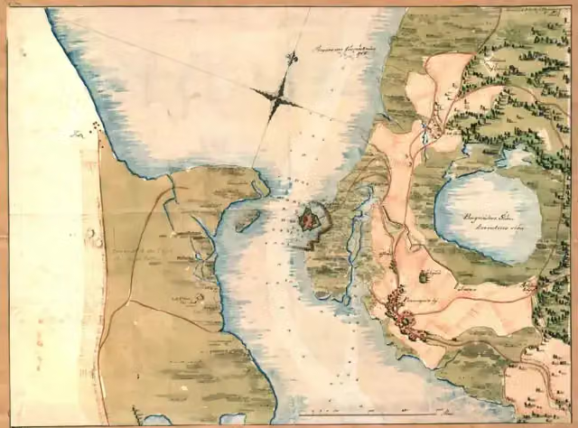 Peenemünder SchanzeArchaeological site · 1.6 km from the route
- 17
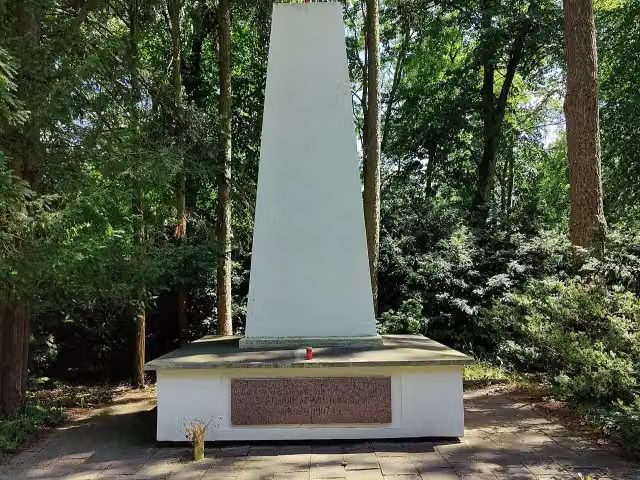 Bezirksfriedhof 2 der Roten ArmeeMemorial · 1.6 km from the route
- 18
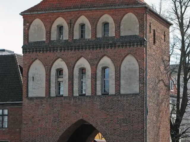 KniepertorAttraction · 1.7 km from the route
- 19
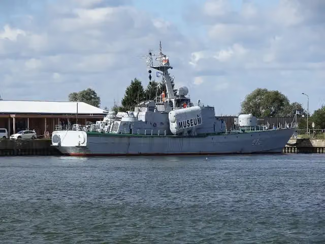 Museumsschiff "Hans Beimler"Museum · 1.7 km from the route
- 20
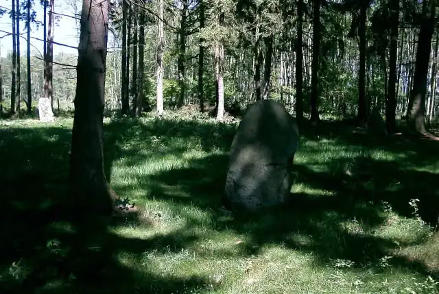 Steintanz von NetzebandArchaeological site · 1.8 km from the route
- 21
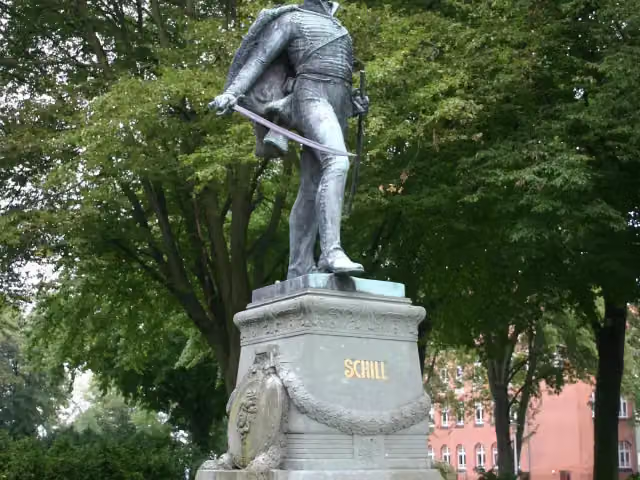 Schill-DenkmalMemorial · 1.8 km from the route
- 22
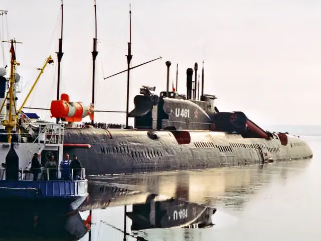 U-461Museum · 1.9 km from the route
- 23
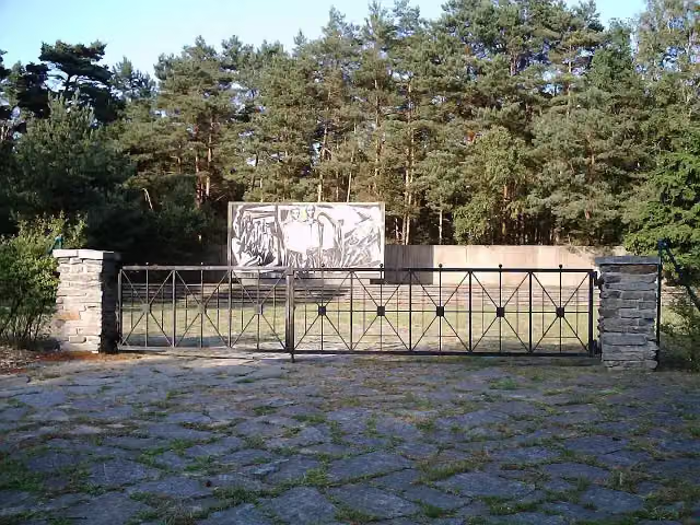 Mahn- und Gedenkstätte KarlshagenMemorial · 2.1 km from the route
- 24
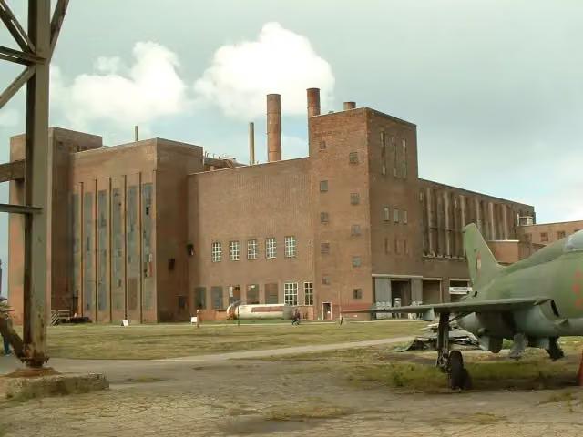 Historisch-Technisches Museum PeenemündeMuseum · 2.1 km from the route
- 25
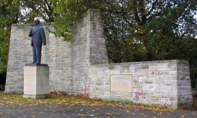 Ernst-Thälmann-DenkmalMemorial · 2.2 km from the route
Explore more
More cycle routes around Heringsdorf
Frequently asked questions
How long is EV10 Ostseeküsten-Radweg - Abschnitt Deutschland MV-Nordost?
EV10 Ostseeküsten-Radweg - Abschnitt Deutschland MV-Nordost is 125.9 km long. Allow ± 8:25 h of riding: 15 km an hour, without breaks.
Is this route a circular ride?
No, the route starts and ends at different spots.
Where does this route start?
The route starts in Heringsdorf.
How hard is this route?
Hard, with 357 m of climbing.
Are there toilets along this route?
Yes, there are 62 public toilets within 100 m of the route. The longest stretch without a toilet is 30.7 km.
Can you fill up with water along this route?
Yes, there are 5 water fountains and refill points within 100 m of the route.
What is there to see along this route?
Along the way you pass Lift-Cafe, Peenebrücke and Dampffährschiff Stralsund.
Can I download this route as a GPX file?
Yes. Sign in with your Outdoor Pitstop account and choose Download GPX at the top of this page: 10 routes a month for free, unlimited with Pro.
Starting point
More routes from this place
Route data © OpenStreetMap contributors





