 Outdoor Pitstop
Cycle route · Salzwedel · Updated on 14 November 2026
Vier-Länder-Grenzradweg cycle route
Vier-Länder-Grenzradweg is a cycle route of 213.6 km from Salzwedel that starts and ends at the same spot. Along the way you'll find 218 benches, 12 public toilets, 2 bike pumps and 1 honesty box.
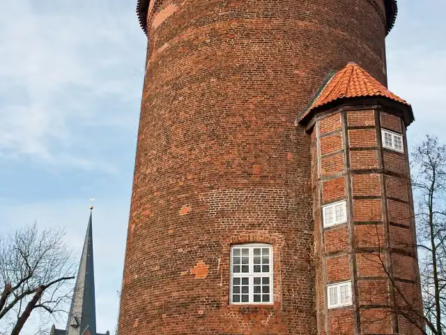
i
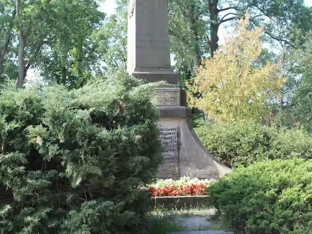
i
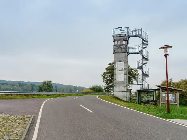
i
The route step by step
From start to finish, with what you pass along the way and the distance in between.
- 213.6 km
- ± 2:50 h per stage
- ↑ 192 m · ↓ 230 m
- Moderate per stage
- Circular ride
- Regional route
Start in Salzwedel
0 km451 m
Honesty box
451 m29.5 km · 33 benches

Gefallenendenkmal
30 kmMemorial
434 m · 17 benches
Public toilet
30.4 km1.3 km · 26 benches
Public toilet
31.7 km3.4 km · 5 benches
Kriegerdenkmal Ziemendorf
35.1 kmMemorial
18.2 km · 8 benches
Grenzlandmuseum Schnackenburg
53.3 kmMuseum
11.8 km · 7 benches
Observation tower
65.1 kmObservation tower
260 m
Grenzturm
65.4 kmObservation tower
22.2 km · 38 benches
Public toilet
87.6 km186 m · bench
ehem. Grenzturm
87.8 kmObservation tower
3.1 km · 6 benches
Public toilet
90.9 km4.1 km · 3 benches
Observation tower
95 kmObservation tower
15.4 km · 9 benches
Bike pump
110.4 km263 m · 3 benches
Museum im Alten Zollhaus
110.7 km4 public toilets
8.8 km · 20 benches
Waldemarturm
119.5 kmMuseum
239 m
Public toilet
119.8 km29.1 km · 7 benches
Rundlingsmuseum Wendland
148.8 kmMuseum
158 m · 5 benches
Lübeln
149 kmPublic toilet
11.1 km · 13 benches
Museum Wustrow
160.1 kmMuseum
8.3 km · 3 benches
Public toilet
168.4 km2.3 km
Public toilet
170.7 km12.4 km · bench
Bike pump
183.1 km30.6 km · 13 benches
Back at the start
213.6 km
Longest stretch without a toilet: 55.9 kmBetween 31.7 km and 87.6 km there is no public toilet within 100 m of the route.
The route with the water points, toilets and sights within 100 m of it.
12 sights along the way
In the order you pass them. With the Outdoor Pitstop app you hear their story on the spot. 4 more along the route are on the map.
i
Photo: Dguendel · Wikimedia Commons · CC BY-SA 4.0View the photo on Wikimedia CommonsMemorial · after 30 km

Memorial · after 35.1 km
Museum · after 53.3 km
Observation tower · after 65.1 km
i
Photo: Radler59 · Wikimedia Commons · CC BY-SA 4.0View the photo on Wikimedia CommonsObservation tower · after 65.4 km
Observation tower · after 87.8 km
Observation tower · after 95 km
Museum · after 110.7 km
Stages (5)
Elevation and terrain
- Up
- ↑ 192 m
- Down
- ↓ 230 m
- Highest point
- 55 m
- Lowest point
- 8 m
- 10-15% slope · 216 m
Elevation from Copernicus GLO-30 (European Union and ESA), smoothed.
produced using Copernicus WorldDEM-30 © DLR e.V. 2010-2014 and © Airbus Defence and Space GmbH 2014-2018 provided under COPERNICUS by the European Union and ESA; all rights reserved
Way types
213.6 km in total- Track: 76.3 km
- Road: 52.8 km
- Path: 35.5 km
- Street: 23.8 km
- Busy road: 22.9 km
- Cycle path: 1.1 km
- Footpath (walk your bike): 275 m
- Unknown: 715 m
Surfaces
213.6 km in total- Asphalt: 105.2 km
- Paved: 63.7 km
- Gravel: 30 km
- Natural: 1.3 km
- Unpaved: 500 m
- Unknown: 12.6 km
About the cycle route Vier-Länder-Grenzradweg
Updated on 14 November 2026, with data from OpenStreetMap, the AHN and Copernicus.
Where do you cycle?
Vier-Länder-Grenzradweg is a circular ride of 213.6 km from Salzwedel: it starts and ends in the same place. Along the way you pass Gefallenendenkmal (after 30 km), Kriegerdenkmal Ziemendorf (after 35.1 km) and Grenzlandmuseum Schnackenburg (after 53.3 km).
How hard is the route?
You climb 192 m in total and descend 230 m. Allow ± 2:50 h per stage, without breaks. Per stage the level is moderate.
What roads do you cycle on?
The longest part is track (76.3 km), road (52.8 km) and path (35.5 km). Of the surface, 105.2 km asphalt and 63.7 km paved. For 12.6 km the surface is not known.
Pitstops along the way
Within 100 metres of the route there are 218 benches, 12 public toilets, 2 bike pumps and 1 honesty box. The longest stretch without a toilet is 55.9 km. The Outdoor Pitstop app navigates you there.
Cycle routes nearby
4Sights nearby
Within 10 km of the route, best known first.
- 1
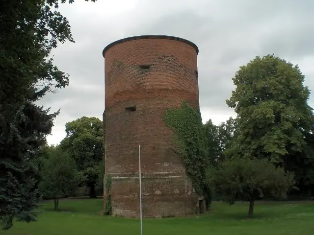 BurgturmCastle · 173 m from the route
- 2
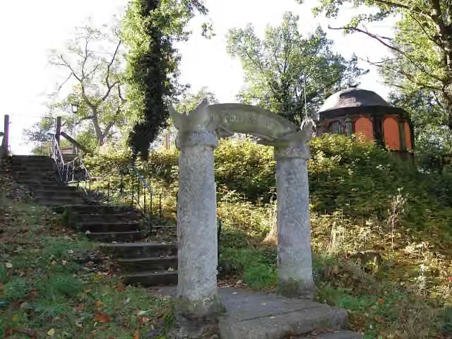 Gustaf-Nagel-ArealAttraction · 224 m from the route
- 3
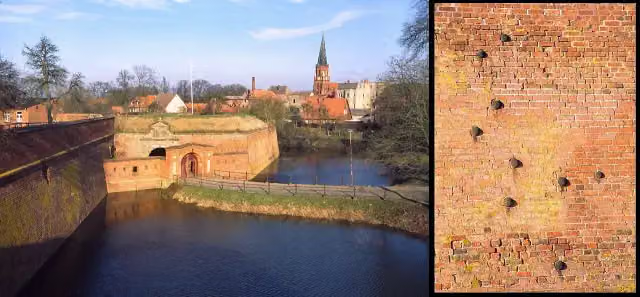 Festung DömitzAttraction · 231 m from the route
- 4
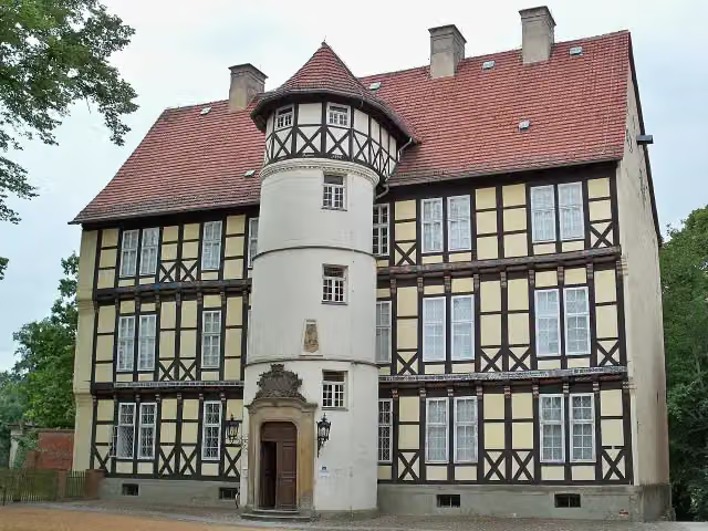 Danneil-MuseumMuseum · 523 m from the route
- 5
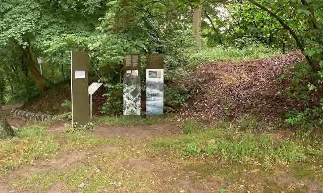 SchwedenschanzeArchaeological site · 746 m from the route
- 6
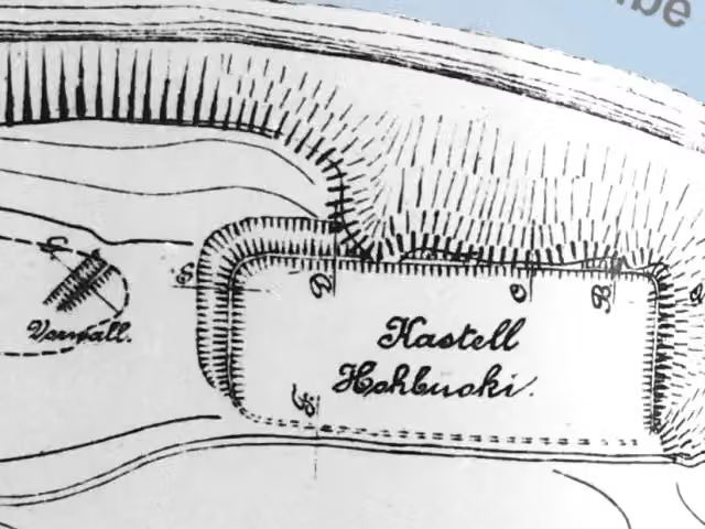 Vietzer SchanzeArchaeological site · 784 m from the route
- 7
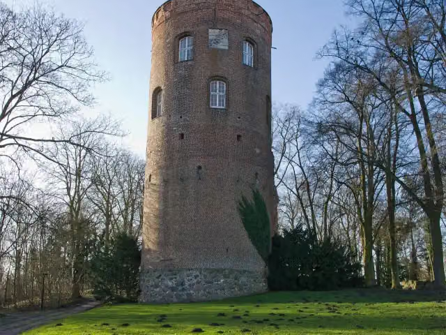 AmtsturmMuseum · 812 m from the route
- 8
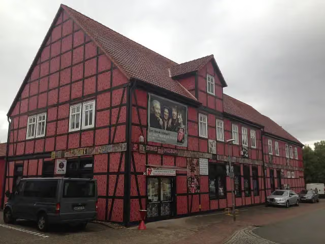 Stones Fan MuseumMuseum · 896 m from the route
- 9
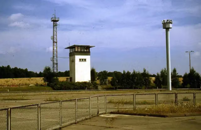 GrenzturmObservation tower · 995 m from the route
- 10
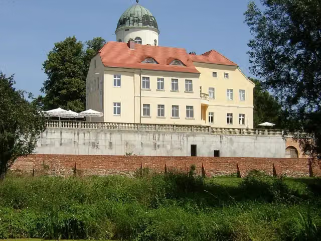 Burg LenzenCastle · 1.4 km from the route
- 11
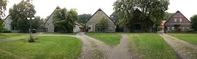 SateminAttraction · 2 km from the route
- 12
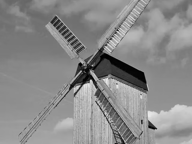 Bockwindmühle WanzerAttraction · 2 km from the route
- 13
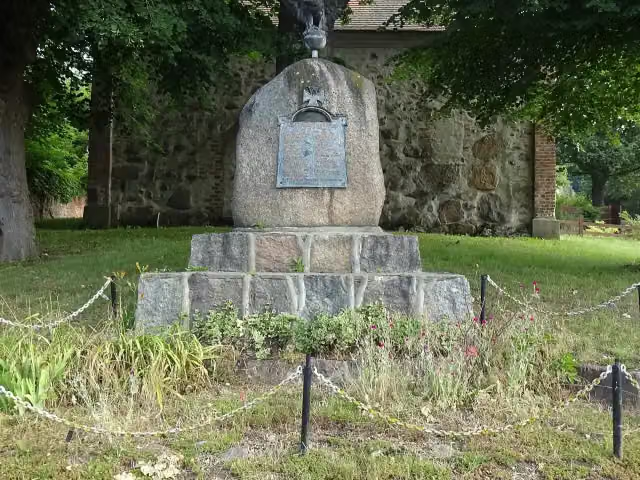 Kriegerdenkmal SiedendolslebenMemorial · 3.1 km from the route
- 14
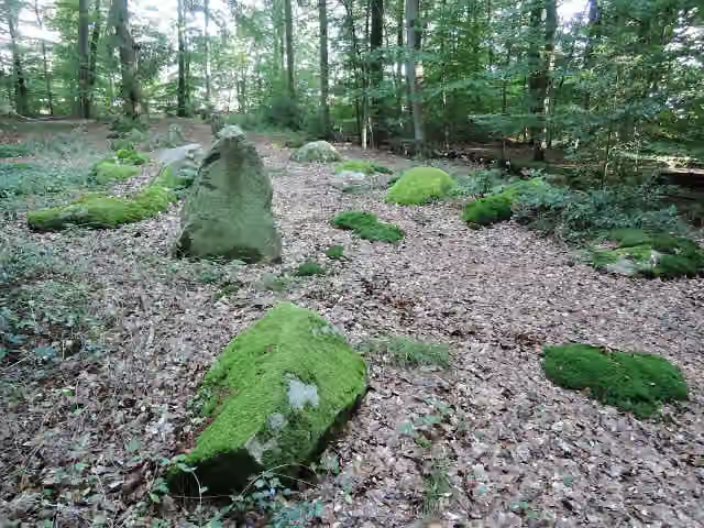 Großsteingrab Barskamp 4Archaeological site · 3.1 km from the route
- 15
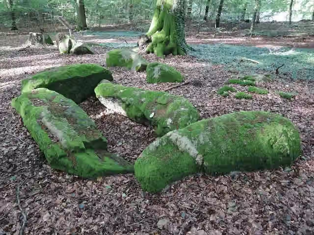 Großsteingrab Barskamp 5Archaeological site · 3.3 km from the route
- 16
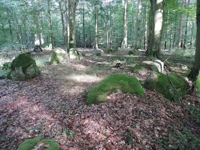 Großsteingrab Barskamp 6Archaeological site · 3.4 km from the route
- 17
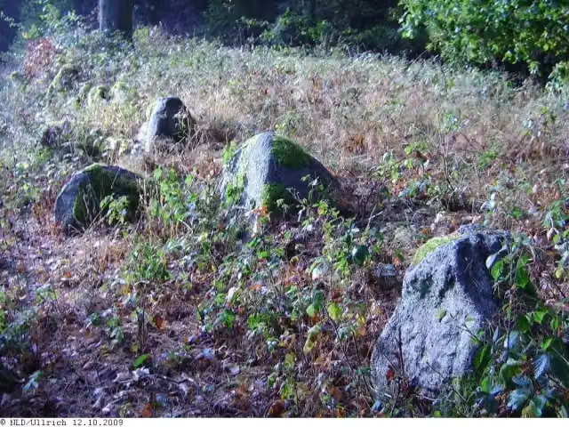 Großsteingrab Wietzetze 1Archaeological site · 3.7 km from the route
- 18
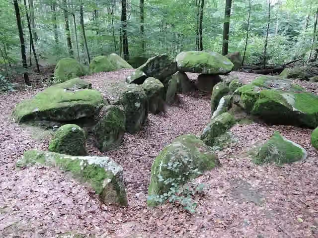 Großsteingrab Barskamp 2Archaeological site · 4.2 km from the route
- 19
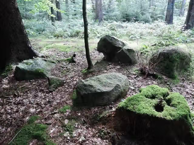 Großsteingrab Barskamp 8Archaeological site · 4.3 km from the route
- 20
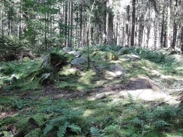 Großsteingrab Wietzetze 3Archaeological site · 4.3 km from the route
- 21
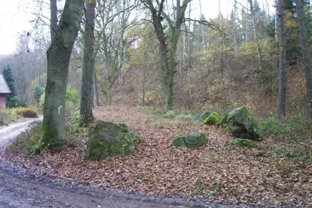 Großsteingrab Wietzetze 2Archaeological site · 4.4 km from the route
- 22
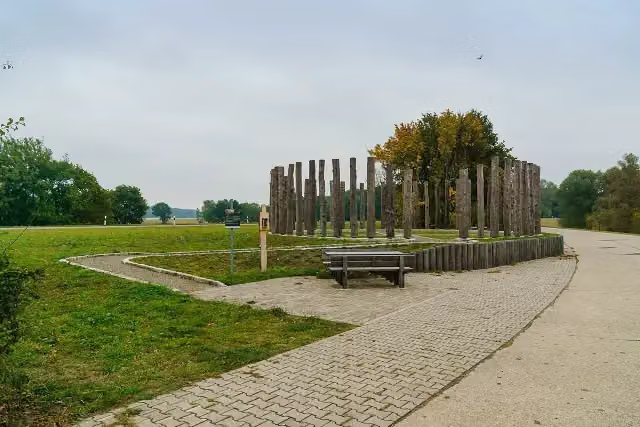 Woodhenge am HasenbergAttraction · 4.4 km from the route
- 23
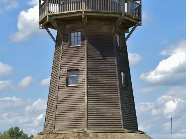 Klaus-Bahlsen-TurmObservation tower · 4.4 km from the route
- 24
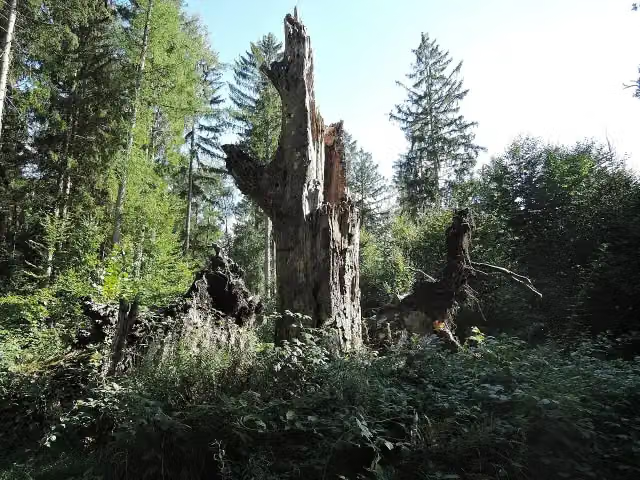 Großsteingrab Barskamp 3Archaeological site · 4.5 km from the route
- 25
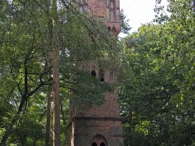 Bismarckturm SalzwedelObservation tower · 4.6 km from the route
Explore more
More cycle routes around Salzwedel
Frequently asked questions
How long is Vier-Länder-Grenzradweg?
Vier-Länder-Grenzradweg is 213.6 km long, in 5 stages of 42.7 km on average. Allow ± 2:50 h per stage of riding: 15 km an hour, without breaks.
How many stages does this route have?
The route is split into 5 stages of 42.7 km on average, 213.6 km in all. The shortest stage is 16.8 km, the longest 59.8 km.
Is this route a circular ride?
Yes, the route starts and ends at the same spot.
Where does this route start?
The route starts in Salzwedel.
How hard is this route?
Moderate per stage, with 38 m per stage of climbing.
Are there toilets along this route?
Yes, there are 12 public toilets within 100 m of the route. The longest stretch without a toilet is 55.9 km.
Can you fill up with water along this route?
No, there is no water point within 100 m of the route. Bring enough water.
What is there to see along this route?
Along the way you pass Gefallenendenkmal, Kriegerdenkmal Ziemendorf and Grenzlandmuseum Schnackenburg.
Which stage of this route has the most points of interest?
Stage 2 (56.9 km), with 5 points of interest along the route, such as Observation tower, Grenzturm and ehem. Grenzturm.
Can I download this route as a GPX file?
Yes. Sign in with your Outdoor Pitstop account and choose Download GPX at the top of this page: 10 routes a month for free, unlimited with Pro.
Starting point
More routes from this place
Route data © OpenStreetMap contributors





