 Outdoor Pitstop
Cycle route · Torgau · Updated on 14 November 2026
Torgischer Radweg cycle route
Torgischer Radweg is a cycle route of 66.9 km from Torgau. Along the way you'll find 67 benches, 2 water fountains and refill points and 6 public toilets.
i
i
i
The route step by step
From start to finish, with what you pass along the way and the distance in between.
- 66.9 km
- ± 4:30 h
- ↑ 143 m · ↓ 136 m
- Hard
- From A to B
- Regional route
Start in Torgau
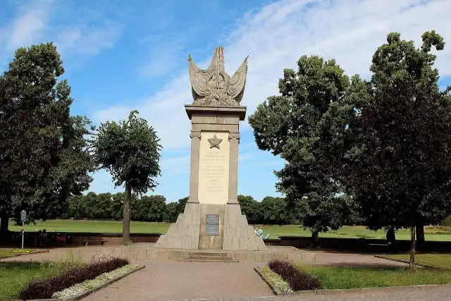
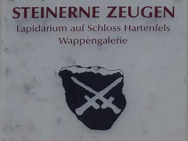
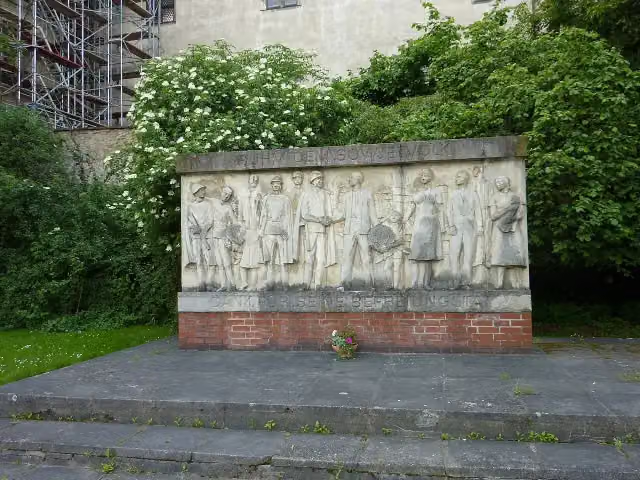
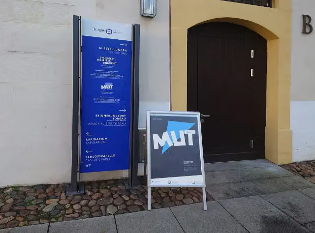
0 kmAt the start: Denkmal der Begegnung, Kürfürstliche Gemächer, Lapidarium, Ehrenmal "Ruhm dem Sowjetvolk", Erinnerungsort Torgau and public toilet.
177 m · 12 benches

Bärengraben and 4 more
177 mStadtmuseum Torgau, Torgau, Residenz der Renaissance und Reformation, Spalatinhaus, Katharina-Luther-Stube and public toilet
322 m · 5 benches
Braumuseum
499 mPublic toilet and water point
215 m · 6 benches
Bürgermeister-Ringenhain-Haus
714 mMuseum
552 m · 3 benches
Mosaikbild
1.3 kmAttraction
232 m · 4 benches
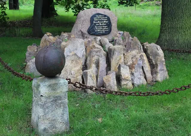
Julius von Koethen Denkmal
1.5 kmMemorial
11.9 km · 5 benches
Gefallenendenkmal
13.4 kmMemorial
25 km · 6 benches
Public toilet
38.4 km151 m · 10 benches
Water point
38.5 km367 m
Public toilet
38.9 km27.8 km · 14 benches
Public toilet
66.7 km212 m
Finish
66.9 km
Longest stretch without a toilet: 37.7 kmBetween 635 m and 38.4 km there is no public toilet within 100 m of the route.
The route with the pitstops and sights within 100 m of it.
15 sights along the way
In the order you pass them. With the Outdoor Pitstop app you hear their story on the spot. 7 more along the route are on the map.
i
Photo: Alois Köppl, Gleiritsch ( = Zusatz) · Wikimedia Commons · CC BY 4.0View the photo on Wikimedia CommonsMemorial · after 3 m
i
Photo: Falk2 · Wikimedia Commons · CC BY-SA 4.0View the photo on Wikimedia CommonsMuseum · after 26 m
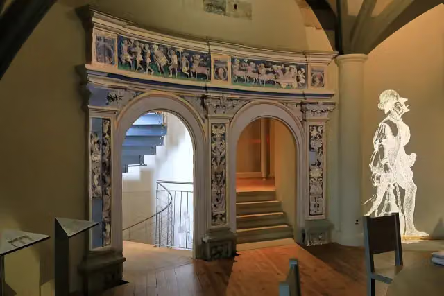
Museum · after 26 m
i
Photo: Timur Y · Wikimedia Commons · CC BY 3.0View the photo on Wikimedia CommonsMemorial · after 26 m
Museum · after 26 m
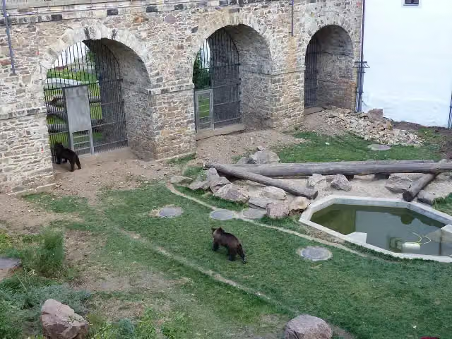
i
Photo: Dr. Bernd Gross · Wikimedia Commons · CC BY-SA 4.0View the photo on Wikimedia CommonsAttraction · after 177 m
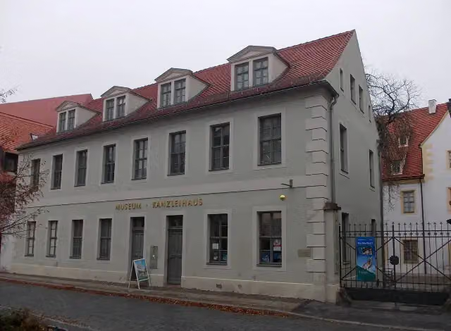
i
Photo: Jwaller · Wikimedia Commons · CC BY-SA 4.0View the photo on Wikimedia CommonsMuseum · after 181 m
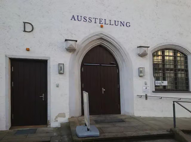
Museum · after 214 m
Elevation and terrain
- Up
- ↑ 143 m
- Down
- ↓ 136 m
- Highest point
- 144 m
- Lowest point
- 82 m
Nowhere steeper than 5%.
Elevation from Copernicus GLO-30 (European Union and ESA), smoothed.
produced using Copernicus WorldDEM-30 © DLR e.V. 2010-2014 and © Airbus Defence and Space GmbH 2014-2018 provided under COPERNICUS by the European Union and ESA; all rights reserved
Way types
66.9 km in total- Track: 42.1 km
- Street: 12.4 km
- Busy road: 5.7 km
- Path: 2.8 km
- Cycle path: 2 km
- Road: 1.5 km
- Footpath (walk your bike): 350 m
Surfaces
66.9 km in total- Asphalt: 39 km
- Gravel: 12.8 km
- Paved: 6.7 km
- Natural: 2.6 km
- Unpaved: 1.4 km
- Unknown: 4.4 km
About the cycle route Torgischer Radweg
Updated on 14 November 2026, with data from OpenStreetMap, the AHN and Copernicus.
Where do you cycle?
Torgischer Radweg is a cycle route of 66.9 km that starts in Torgau. It does not end where it starts. You start in Torgau and finish in Delitzsch. Along the way you pass Denkmal der Begegnung (after 3 m), Kürfürstliche Gemächer (after 26 m) and Lapidarium (after 26 m).
How hard is the route?
You climb 143 m in total and descend 136 m. Allow ± 4:30 h, without breaks. The level is hard.
What roads do you cycle on?
The longest part is track (42.1 km), street (12.4 km) and busy road (5.7 km). Of the surface, 39 km asphalt and 12.8 km gravel. For 4.4 km the surface is not known.
Pitstops along the way
Within 100 metres of the route there are 67 benches, 2 water fountains and refill points and 6 public toilets. You can fill your bottle after 532 m and after 38.5 km. The longest stretch without a toilet is 37.7 km. The Outdoor Pitstop app navigates you there.
Cycle routes nearby
6- [D10] Elberadweg linkselbisch [Abschnitt L]Hard · From A to B68.8 km
- Eurovelo 7 - Sun Route - part GermanyHard · From A to B737.9 km
- Sachsen-M [Abschnitt B] Delitzsch-StrehlaHard · From A to B109.7 km
- Dahlener-Heide-RadrouteModerate · From A to B39.2 km
- [D10] Elberadweg rechtselbisch überwiegend [Abschnitt L]Hard · From A to B70 km
- Historische Stadtkerne Route 5Hard · Circular ride293 km
Sights nearby
Within 10 km of the route, best known first.
- 1
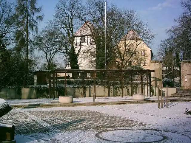 Burg DübenAttraction · 86 m from the route
- 2
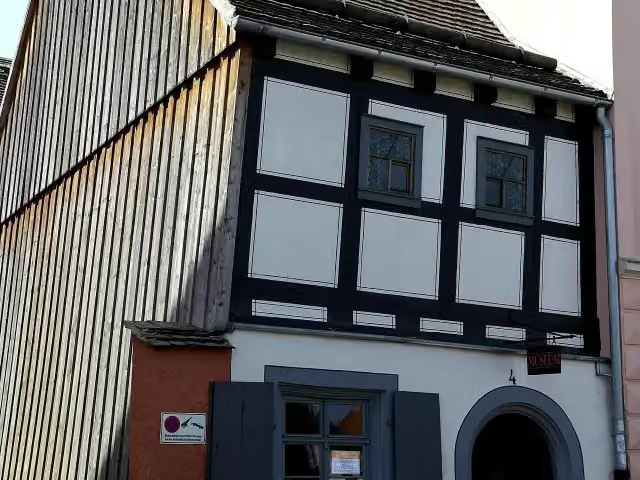 Historisches HandwerkerhausMuseum · 109 m from the route
- 3
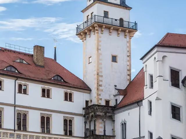 HausmannsturmObservation tower · 114 m from the route
- 4
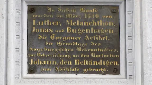 MemorialMemorial · 127 m from the route
- 5
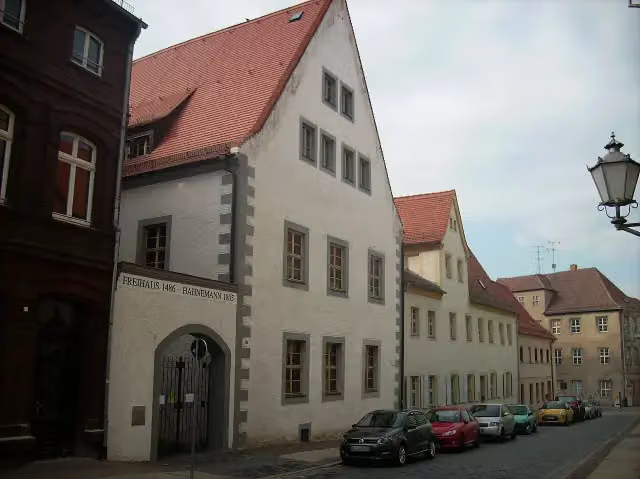 Hahnemann-HausMuseum · 130 m from the route
- 6
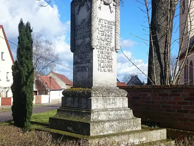 MemorialMemorial · 131 m from the route
- 7
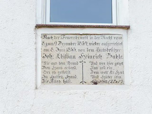 MemorialMemorial · 153 m from the route
- 8
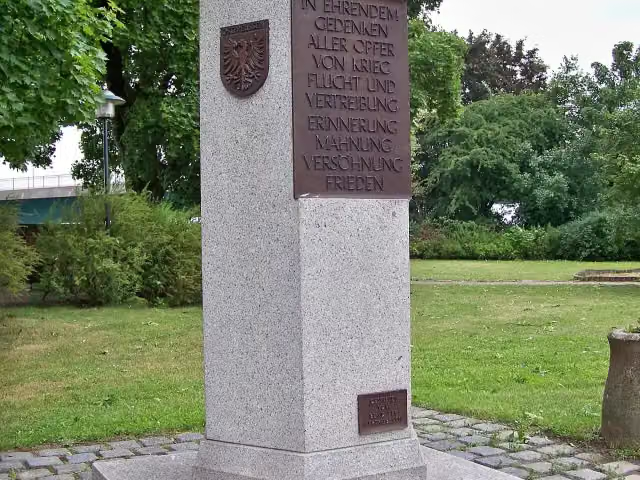 VertriebenendenkmalMemorial · 190 m from the route
- 9
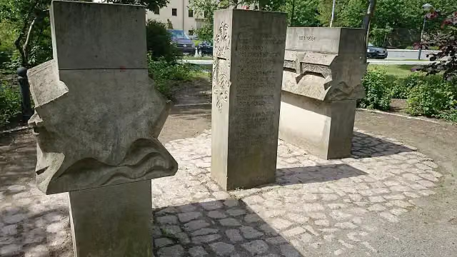 MemorialMemorial · 211 m from the route
- 10
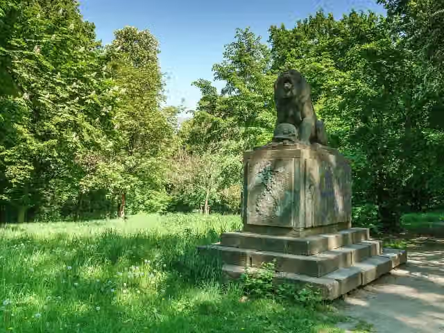 LöwendenkmalMemorial · 222 m from the route
- 11
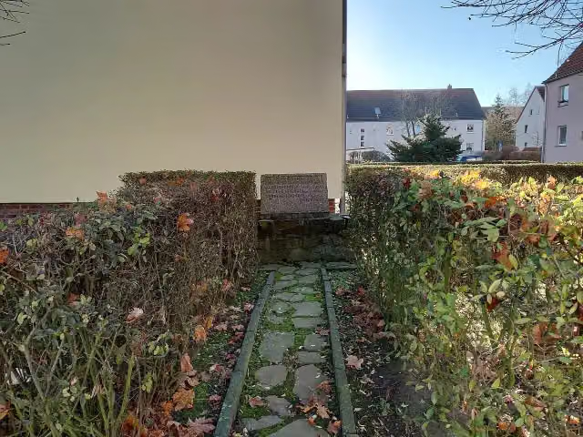 Harnack-GedenksteinMemorial · 225 m from the route
- 12
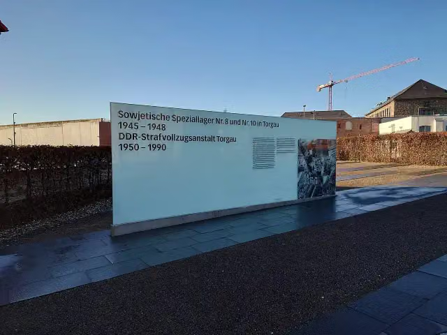 MemorialMemorial · 240 m from the route
- 13
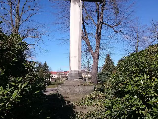 MemorialMemorial · 247 m from the route
- 14
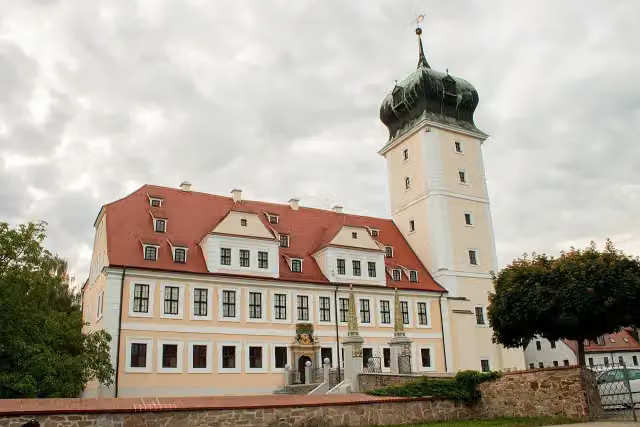 Barockschloss DelitzschAttraction · 248 m from the route
- 15
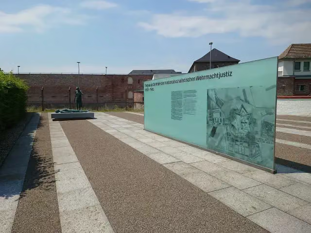 Gedenkstätte Wehrmachtsgefängnis TorgauMemorial · 249 m from the route
- 16
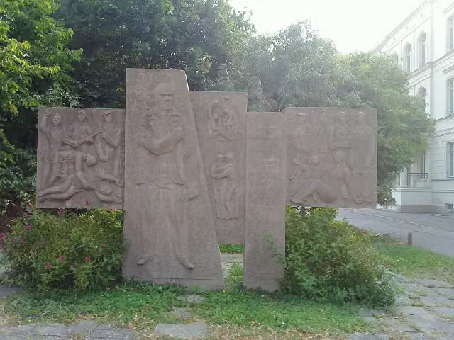 Thälmann-DenkmalMemorial · 269 m from the route
- 17
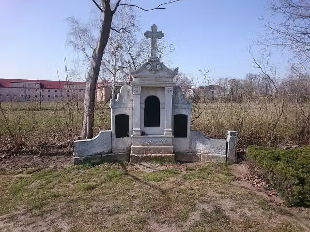 Gefallenendenkmal für russische SoldatenMemorial · 275 m from the route
- 18
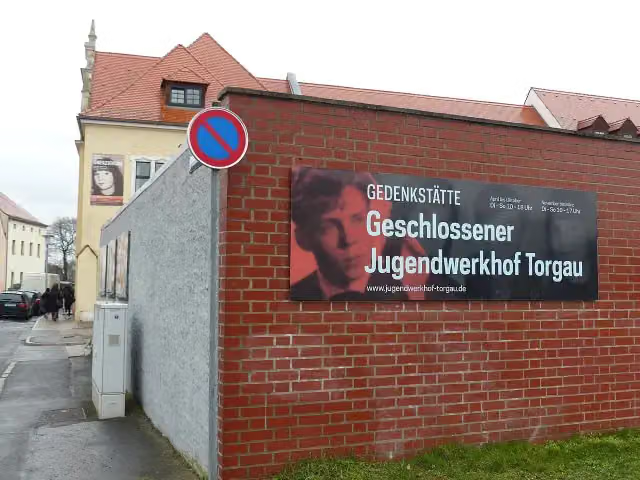 Gedenkstätte Geschlossener Jugendwerkhof TorgauMuseum · 280 m from the route
- 19
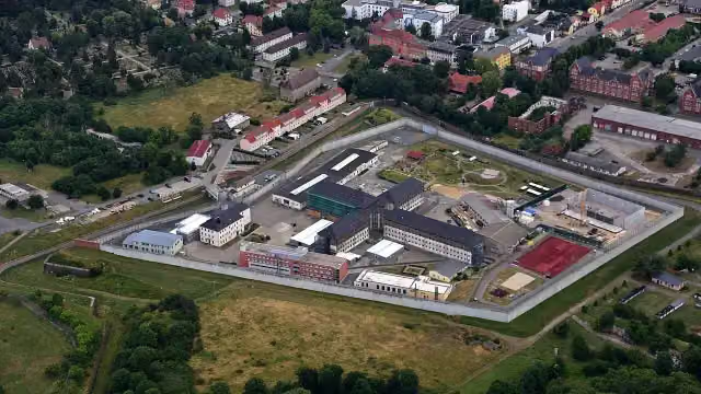 FortFort · 285 m from the route
- 20
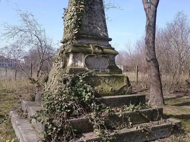 Gefallenendenkmal für belgische und französische SoldatenMemorial · 299 m from the route
- 21
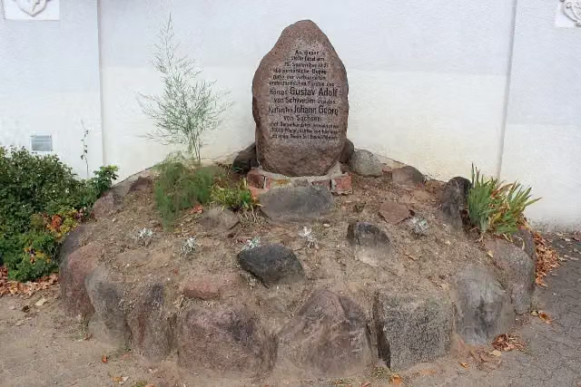 Gustav Adolf GedenksteinMemorial · 330 m from the route
- 22
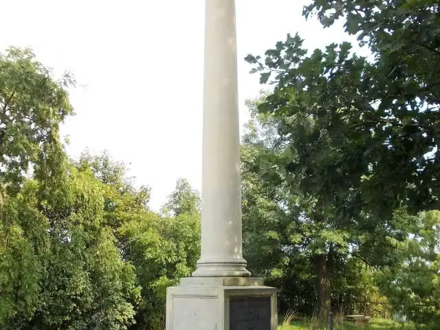 Schlacht bei TorgauMemorial · 343 m from the route
- 23
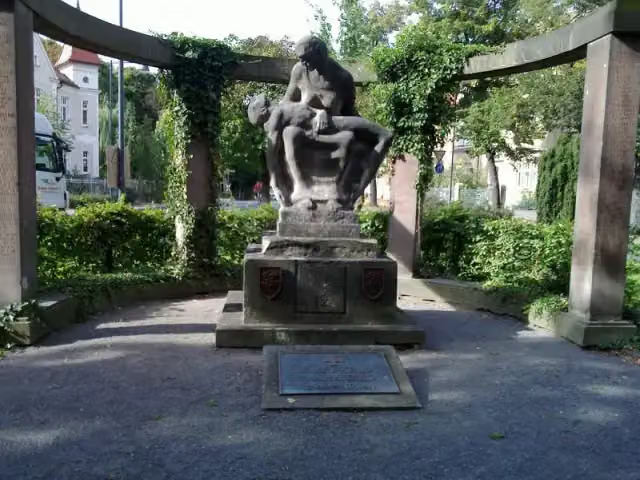 HusarendenkmalMemorial · 356 m from the route
- 24
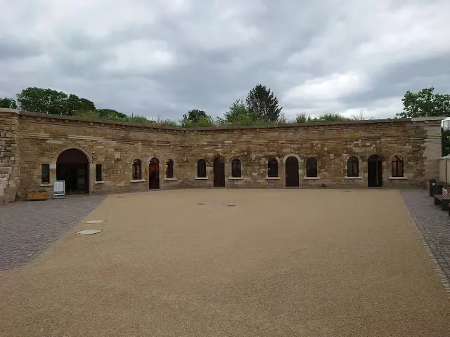 Flankenkasematte VIIFort · 366 m from the route
- 25
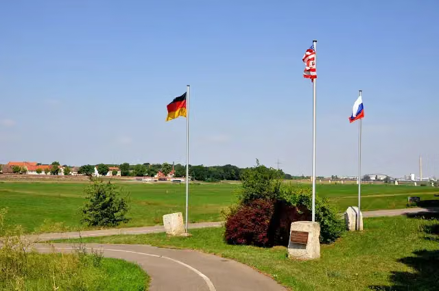 Der Geist der ElbeMemorial · 374 m from the route
Explore more
More cycle routes around Torgau
Frequently asked questions
How long is Torgischer Radweg?
Torgischer Radweg is 66.9 km long. Allow ± 4:30 h of riding: 15 km an hour, without breaks.
Is this route a circular ride?
No, the route runs from Torgau to Delitzsch.
Where does this route start?
The route starts in Torgau.
How hard is this route?
Hard, with 143 m of climbing.
Are there toilets along this route?
Yes, there are 6 public toilets within 100 m of the route. The longest stretch without a toilet is 37.7 km.
Can you fill up with water along this route?
Yes, there are 2 water fountains and refill points within 100 m of the route.
What is there to see along this route?
Along the way you pass Denkmal der Begegnung, Kürfürstliche Gemächer and Lapidarium.
Can I download this route as a GPX file?
Yes. Sign in with your Outdoor Pitstop account and choose Download GPX at the top of this page: 10 routes a month for free, unlimited with Pro.
Starting point
More routes from this place
Route data © OpenStreetMap contributors





